
 English
 Follow us








![[Tancar]](/plantilles/bergueda/img/tancar.png)

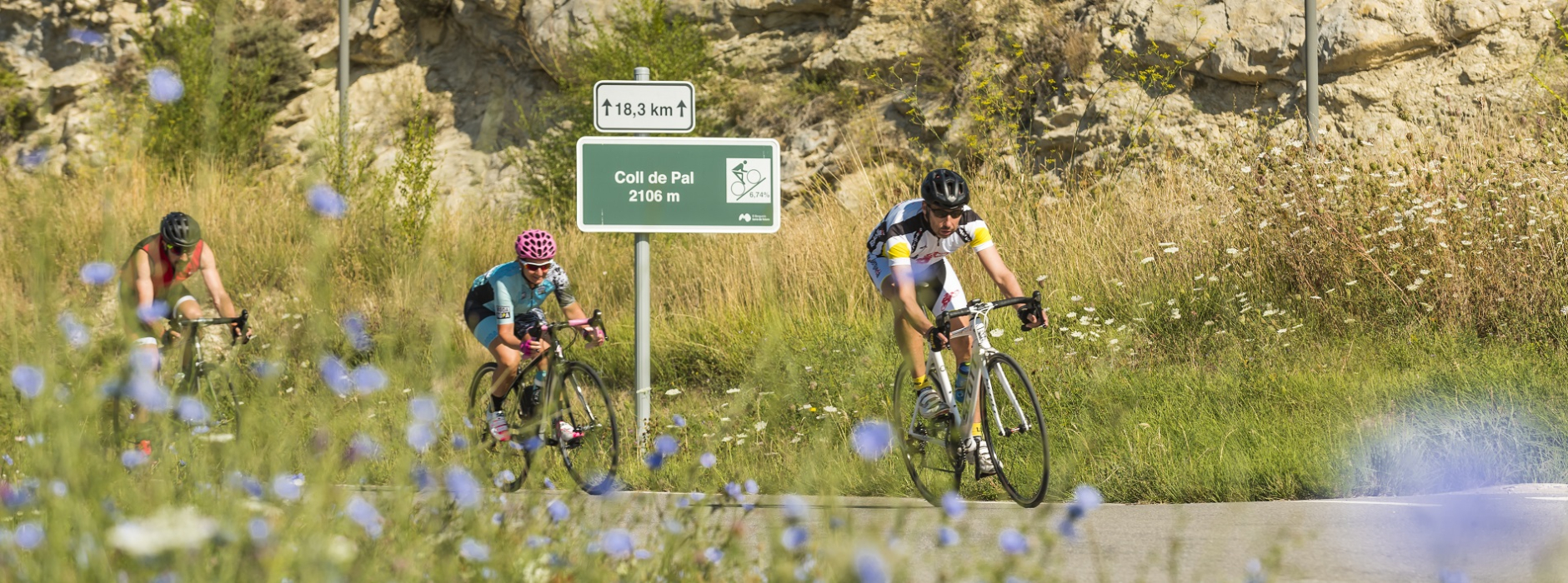
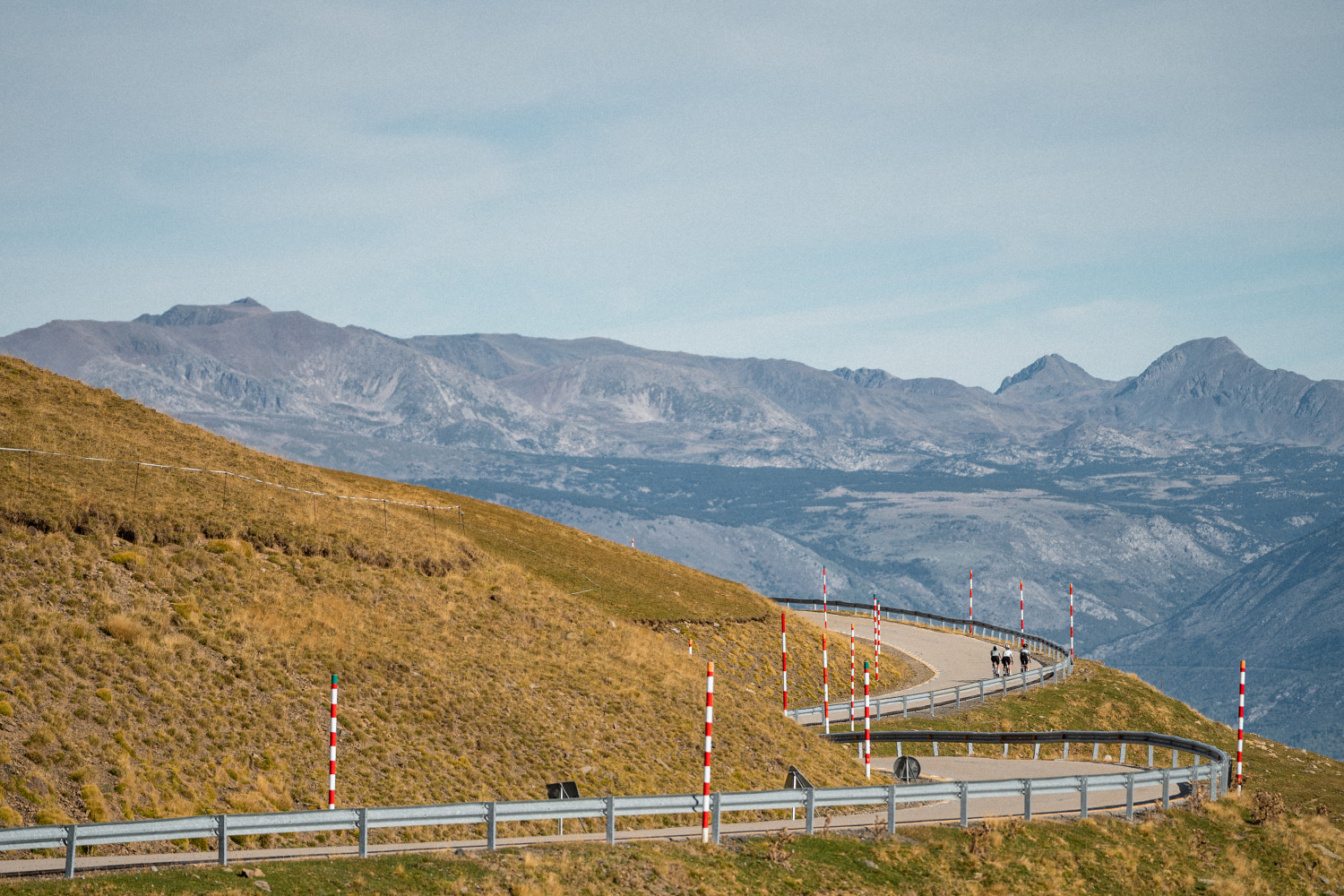
Coll de Pal mountain pass
Technical sheet
Town: Guardiola de Berguedà
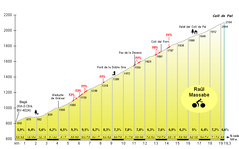
Starting point: BV-4024. Bagà (Parc Natural Cadí – Moixeró).
Ending point: Coll de Pal.
Distance: 19,09 km.
Time: 1,5 - 3 h,
maximum altitude: 2.106 m.
height difference: 1.288 m.
To organise
Cartography: Berga 1:25.000. Institut Cartogràfic de Catalunya El Berguedà 1:50.000. Institut Cartogràfic de Catalunya.
Documents and links
OFICINA DE TURISME DEL BERGUEDÀ
Customer service opening hours:
from Monday to Friday from 9 am to 2 pm.
on public holidays falling from Monday to Friday from 10 am to 2 pm.
Tel. +34 654 125 696
E-mail: turisme@elbergueda.cat

ACKNOWLEDGMENTS


[Premsa]
Other






Follow us


