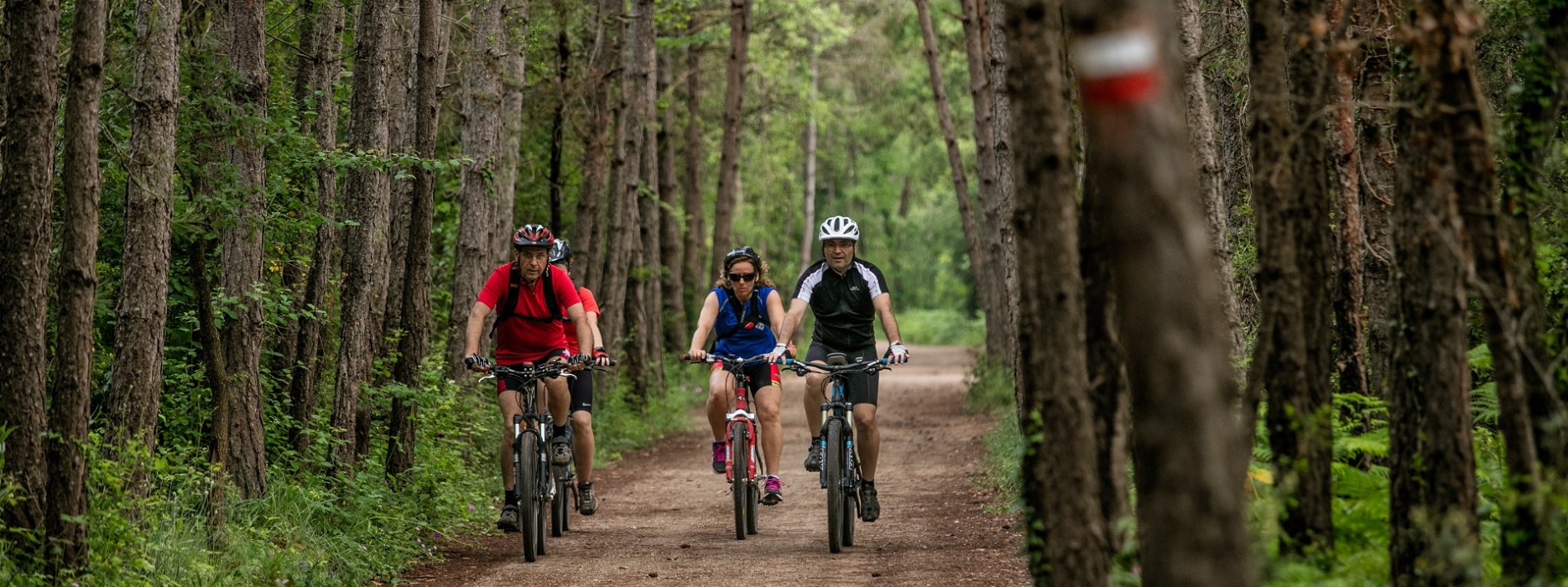
Landscapes near Castellar
The natural environment north of La Pobla de Lillet is often breathtaking. Pedaling around Castellar de n'Hug, in every corner, at every turn of the road, a new surprise appears.
The meadows, pastures, and variety of forests are always of extraordinary beauty. With a minimum height of about 1000 meters and a maximum above 1900, the route moves at average heights of 1,500 meters.
Unfortunately, some roads are closed to the passage of people for exclusively personal use, and many have become lost in a territory that in recent decades has ceased to live on the mountain (except for a few exceptions). ) to live almost exclusively on tourism. Making a route that goes around the territory - which due to its orography already has many roads - is almost impossible without stepping for miles and kilometers of asphalt. However, it is still possible to make a route that crosses the highlights and in which almost 50% is by mountain paths. Beautiful roads in a truly privileged environment.
Technical sheet
Route number: 41
Town: Castellar de n'Hug
Type: Difficult
Starting point: Clot del Moro, road from La Pobla de Lillet to Castellar de n'Hug
Ending point: Clot del Moro, road from La Pobla de Lillet to Castellar de n'Hug
Distance: 48 Km
Time: 6 h.
maximum altitude: 1936 m.
height difference: 1666 m.
Signals: Unmarked route
To organise
Cartography: 46-Parc Natural del Cadí-Moixeró E. 1:25.000. Institut Cartogràfic i Geològic de Catalunya Montgrony-Fonts del Llobregat 1:25.000. Ed. Alpina
More information
Bibliography: Inventari de Patrimoni: invarquit.cultura.gencat.cat
Documents and links
OFICINA DE TURISME DEL BERGUEDÀ
Carretera C16 Km 96
08600-Berga. Phone (+34) 654 125 696
Monday to Friday: 9 to 14h.
Saturday: 10 to 14 & 16 to 18h.
Sunday and holidays: 10 to 14h.
E-mail: turisme@elbergueda.cat
[Premsa]
Other

 English
 Follow us


![[Tancar]](/plantilles/bergueda/img/tancar.png)


