Hike through the textile colonies of the Llobregat River
The main itinerary of the Route has direct access to each of the colonies.
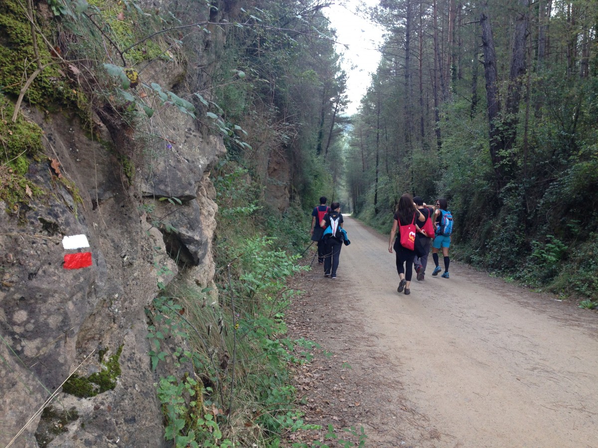
We leave the Pont de Pedret and make the itinerary from north to south. Let's make the first km. along the green route of the Llobregat, continue downstream to Cal Rosal. The first sign is near the Pedret road. From here we look at the factory and the convent of the colony. We cross the river over the old road bridge, pass the factory compound and cross the old C-16 through the underpass. We approach the river again and head down to the Minoves mill and the school building. We pass by the Pont d'Orniu and continue on the path to Sant Vicenç d'Oiols, a gem of the Romanesque Berguedà. In front of the church we also take the path on the left that returns to the river and leads to La Plana.
This colony, badly damaged, welcomes us with a magnificent block of flats. We descend towards the Factory of the Colony and take a small path along the river, until the end of the industrial zone.
We pass by the canal and the factory of l'Ametlla de Casserres, enjoy its promenade presided over by the church and arrive at the old bridge de les Febres, at the other end of the colony. Follow the track and, after passing under the C-16, take a path that runs along the water channel and leads to the source of Balç. We can avoid this path by following the track that runs across the field to the Font del Balç.
We enter the village of Gironella and discover the colony of Cal Meter welded to the town center. We cross the main street and cross the river Llobregat over the old bridge. We also cross the La Riba stream and follow the Cal Meter channel.
We arrived at the pools along the river, shortly afterwards, in the Bassacs colony with its imposing tower. Without crossing the river we continue on a path between poplars and fields.
We reach the dam of Viladomiu Vell, at this point we find the panels on a small circular itinerary that gives us the option to climb to the viewpoint of Cal Lluent. The Route of the Colonies continues along the path along the river passing the Viladomiu Vell lever, but without crossing it until you reach the Viladomiu Nou lever.
We cross the river and the canal and cross the factory space. A well-paved road, flanked by banana trees, leads us to El Guixaró. Without going into the colony, we take on the left a small path that crosses the orchards and leads to the crowbar.
We cross the Llobregat river and take a path on the right, which goes up to the borders of the fields, to cross a small stream we have to go down zigzagging and continue on the side of the lock until we reach the lever of Cal Prat, you will have to get off the bicycles to access the lever, cross the river and pass through the orchards.
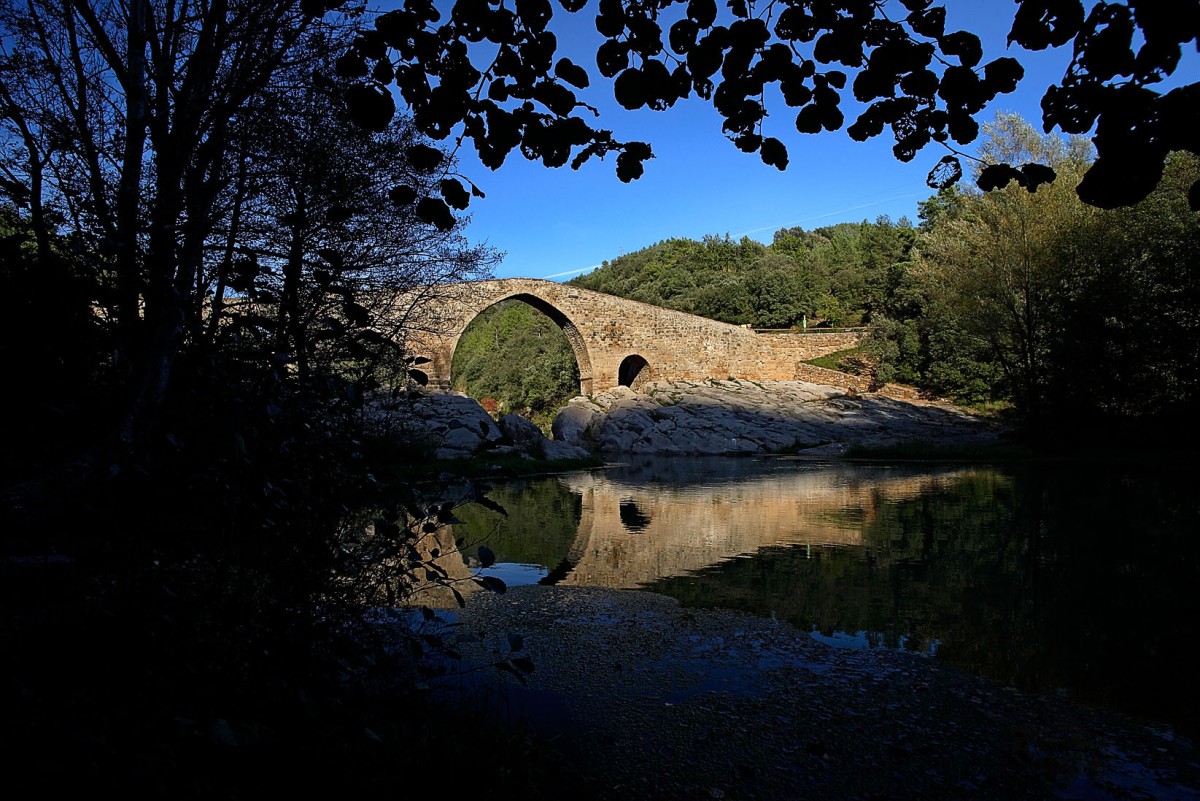
In Cal Prat, the PR follows the channel to the factory, at the end of the industrial precinct take a path along the river, cross the C-16 below the great viaduct, and finally an excessively narrow path below the industrial estate returns to bring the river to the old Periques bridge and the Cal Cases factory. For cyclists we recommend doing this section, going up to the Colonia de Cal Prat and going to the secondary road to the roundabout and the industrial estate, passing by the football field and connecting the PR to Llobregat de Puig-reig street.
We turn left once we are in the Plaza de la Creu. And soon we discover the Llobregat at our feet. We pass through the urbanization and the bell tower of the church of Cal Pons hints among the pines. We leave behind the magnificent lime-tree promenade and descend to the factory. Cross the portal and rediscover the Llobregat.
We approach Cal Marçal along the river. After a leafy grove, the path narrows and heads to the colony. We passed by the chicken coop and arrived at the garages. We follow a long block of houses until we reach the factory entrance, on the right we will connect with the path that crosses the orchards and leads to the crowbar.
From the other side, once we have gained height, we look at the factory. We continue south, cross under the C-16 road and take an asphalted track that leads to La Cortada. We turn to the right on a path that approaches us, crossing the forest, to the next colony. We soon glimpsed the homes, the fireplace and the factory. At last a field opens to us. We go around it to the left and contemplate Cal Vidal.
Continue on a flat track, between fields and forests, until you reach the Cal Riera junction.
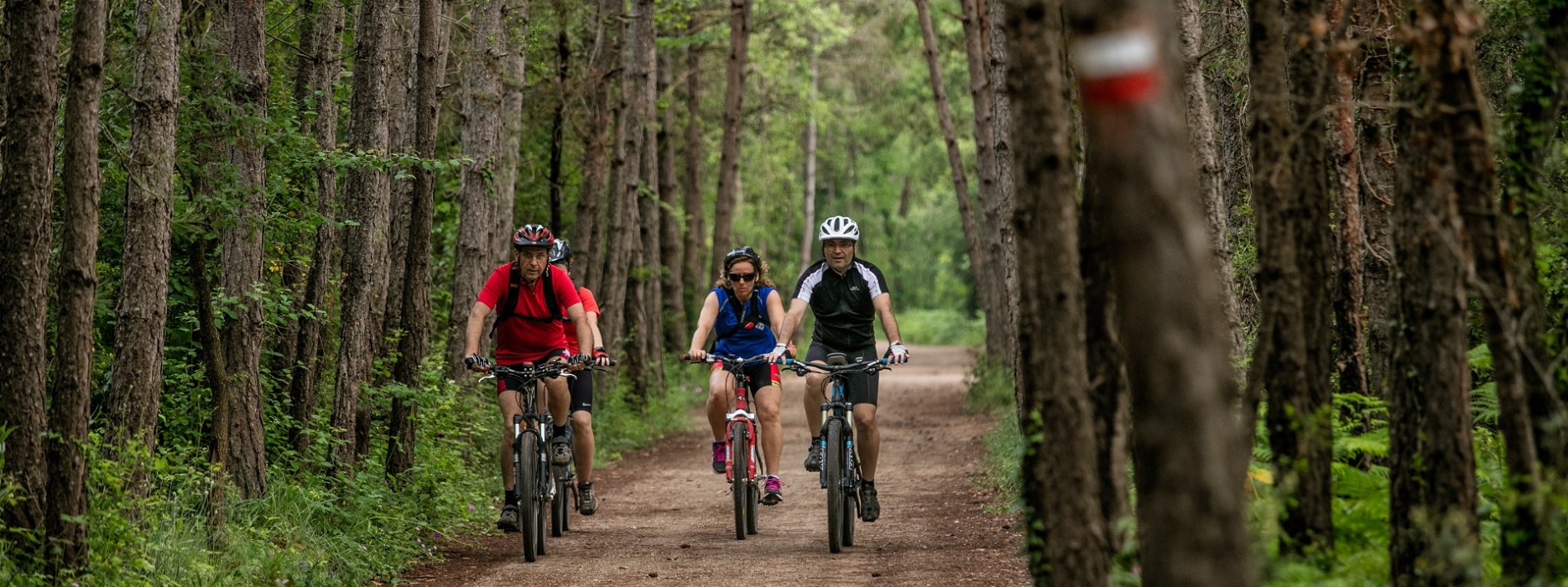
We leave the road that leads to the colony on the right and cross the Merlès stream for a ford (if we want to get wet nothing we can use the movable footbridge but we will have to get off the bike). Without gaining height, the route turns to the right, crosses a poplar and follows the banks of the river. The atmosphere is humid and the vegetation is thick to connect with a paved rural track. For those who prefer to save this stretch of paths through the woods of the riverbank, after crossing the stream you can follow the uphill path, a turning to the right will take you to the asphalted track that we can continue to connect with the PR.
After a few meters we leave this track and descend to the river. The village of Galera is on the left, perched on a hill. We cross the Llobregat through a magnificent iron and wood lever and reach the Ametlla de Merola.
Without going up to the colony we follow the track that borders the meander between the river and the orchards, at the end of the track a path leads us to the new footbridge. We cross the river and continue downstream. We continue along the rural track next to the fields until we find another path that approaches the river. We cross the dam of Cal Forcada and reach the Molí de Castellet, turn left to go up the road and cross the river. At the end of the bridge, a path on the left will allow us to descend towards Cal Forcada, again passing under the bridge.
From Cal Forcada we continue along the rural track until we reach a street, we continue straight on and after a few meters we continue on the rural track. We walk between fields slightly away from the river, when the track begins to gain height we take a path on the left.
We go up the coast and see the Soldevila Colony at our feet, follow the path to the colony. We pass by the church of Sant Esteve, a path brings us closer to the river. We continue downstream on a path to the Rabeia dam, cross the canal by the same dam and continue on the other side. We turn right on the rural track and go past the factory.
A track on the left brings us back to the river. We continue on to the Resclosa del Manresans, where the Manquia River drainage route goes. The two routes coincide a few meters until we take a track on the right, we are gaining height in the direction of Balsareny. We find the old railway line and arrive at Balsareny. We climb up to the Church Square where the itinerary ends.
Technical sheet
Town: Cercs
Type: Easy
Starting point: Pont de Pedret
Ending point: Balsareny
Distance: 32 km.
maximum altitude: 535 m.
height difference: 450 m.
Signals: white-yellow marks
Documents and links
OFICINA DE TURISME DEL BERGUEDÀ
Carretera C16 Km 96
08600-Berga. Phone (+34) 654 125 696
Monday to Friday: 9 to 14h.
Saturday: 10 to 14 & 16 to 18h.
Sunday and holidays: 10 to 14h.
E-mail: turisme@elbergueda.cat
[Premsa]
Other

 English
 Follow us


![[Tancar]](/plantilles/bergueda/img/tancar.png)


